A port operator looking at one access lane needs a different assessment from a coastal manager tracking years of change. These five examples show what to request and what an image cannot tell you.
These examples explain the workflow. They are not records of customer projects.
Illustrative location photography
Field application / 01 · Energy assets
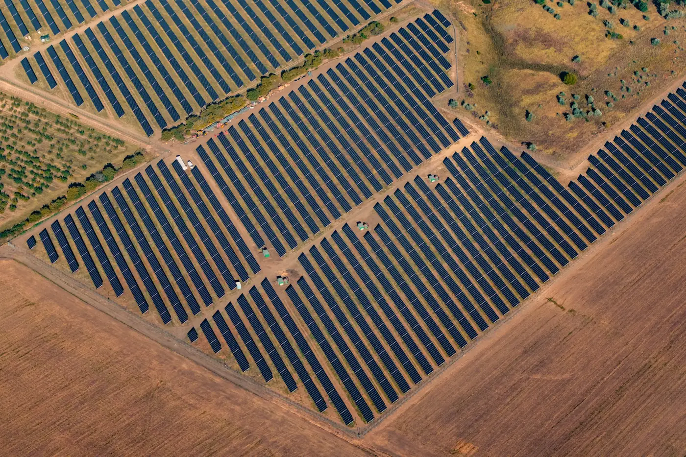
Which asset needs the next visit?
Start with access and visible changes across the portfolio. A remote observation can help plan a visit, but it does not replace diagnosing equipment on site.
Who uses it
Portfolio owners, utilities and operations teams.
Inputs
Site boundaries, inspection history, a comparable baseline and known access restrictions.
Handoff
Locations for review, supporting captures and a set of field questions.
Limit
Visible imagery does not prove a defect. Thermal screening depends on the capture and the operating conditions.
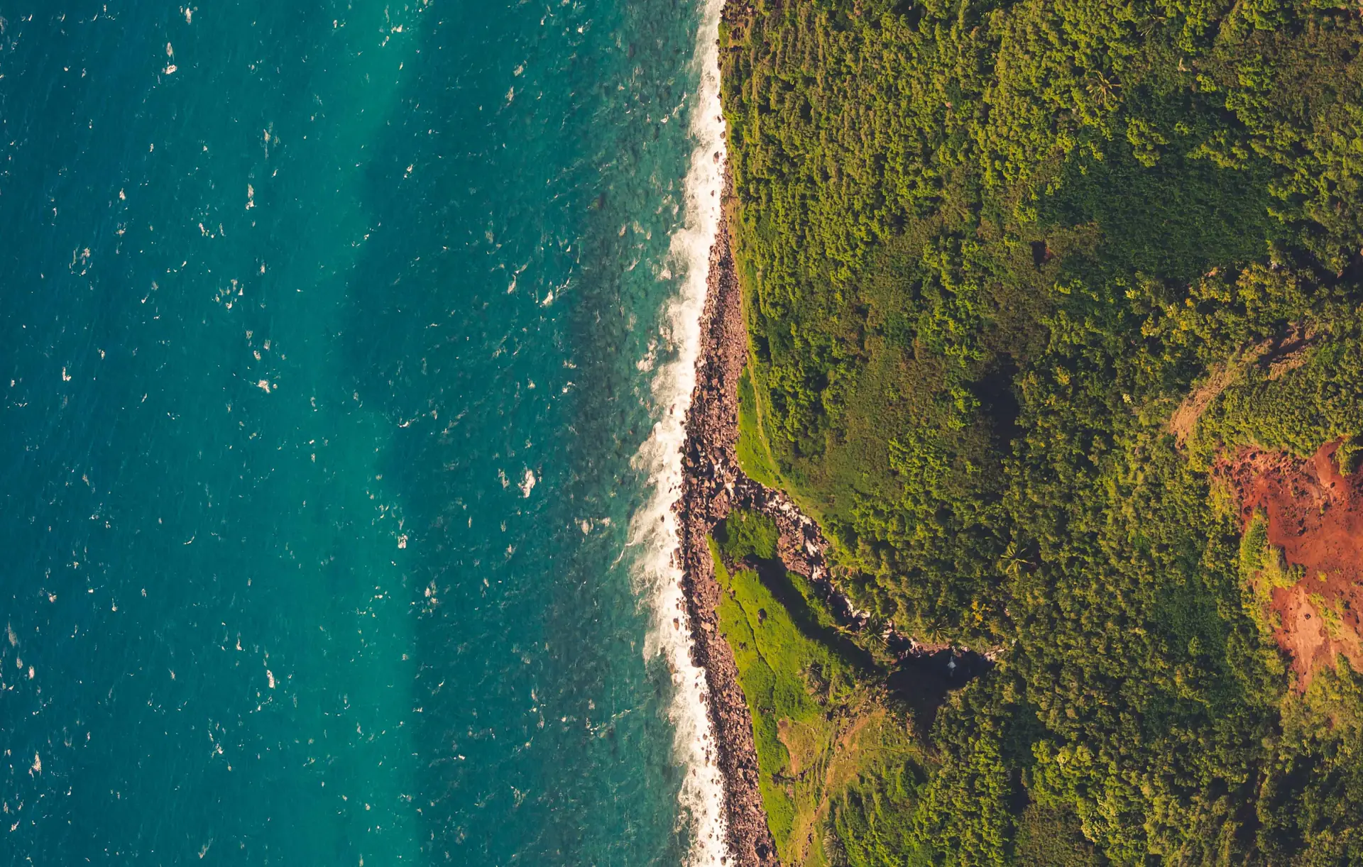
Compare beaches, wetlands or exposed assets against a consistent shoreline indicator. Distinguish the edge visible in one image from a change that persists across dates.
Who uses it
Coastal managers, environmental teams and infrastructure owners.
Inputs
Prior surveys, capture times, tidal context, the shoreline indicator and nearby asset boundaries.
Handoff
Comparable stretches of shoreline, annotated observations and places to revisit.
Limit
Different tides, waves or seasons can shift the apparent edge. One image cannot establish a rate of erosion.
A terminal or corridor operator can use aerial views to locate new material and other visible changes near access routes. Bring in the operating record before deciding whether to dispatch.
Who uses it
Terminal operators, transport authorities and corridor managers.
Inputs
A lane or corridor boundary, recent imagery, site plans and the current operating log.
Handoff
An access review by location, with source references and questions for the site operator.
Limit
Staging is not necessarily an obstruction. Ask the operator to confirm access before dispatch or closure.
Compare a baseline with a usable post-event capture after a flood or severe storm. Record visible conditions and separate priority locations from areas the imagery did not cover adequately.
Who uses it
Emergency planners, public works and infrastructure agencies.
Inputs
A comparable baseline, source dates, affected area, asset locations and available field reports.
Handoff
A coverage map, observable conditions and a prioritized list for field review.
Limit
Cloud, water and obstructed views can hide evidence. Aerial screening is not official safety clearance.
Compare visible progress and changes in the disturbed area with the approved plan and a documented baseline. Ask the project team to resolve discrepancies rather than treating them as violations.
Who uses it
Developers, construction managers and land stewards.
Inputs
Georeferenced plans, phase limits, prior imagery and survey control when the decision depends on measurement.
Handoff
Marked locations, source dates and a short list of differences for the project team.
Limit
A visual discrepancy does not establish noncompliance or quantities. Check the plan version, dates and survey requirements.