Technical Notes
Pick a sensor for the question you need to answer
Three imaging methods can look at the same place and return different evidence.
Reference from 2019: NASA Earthdata: SAR Handbook, Chapter 2
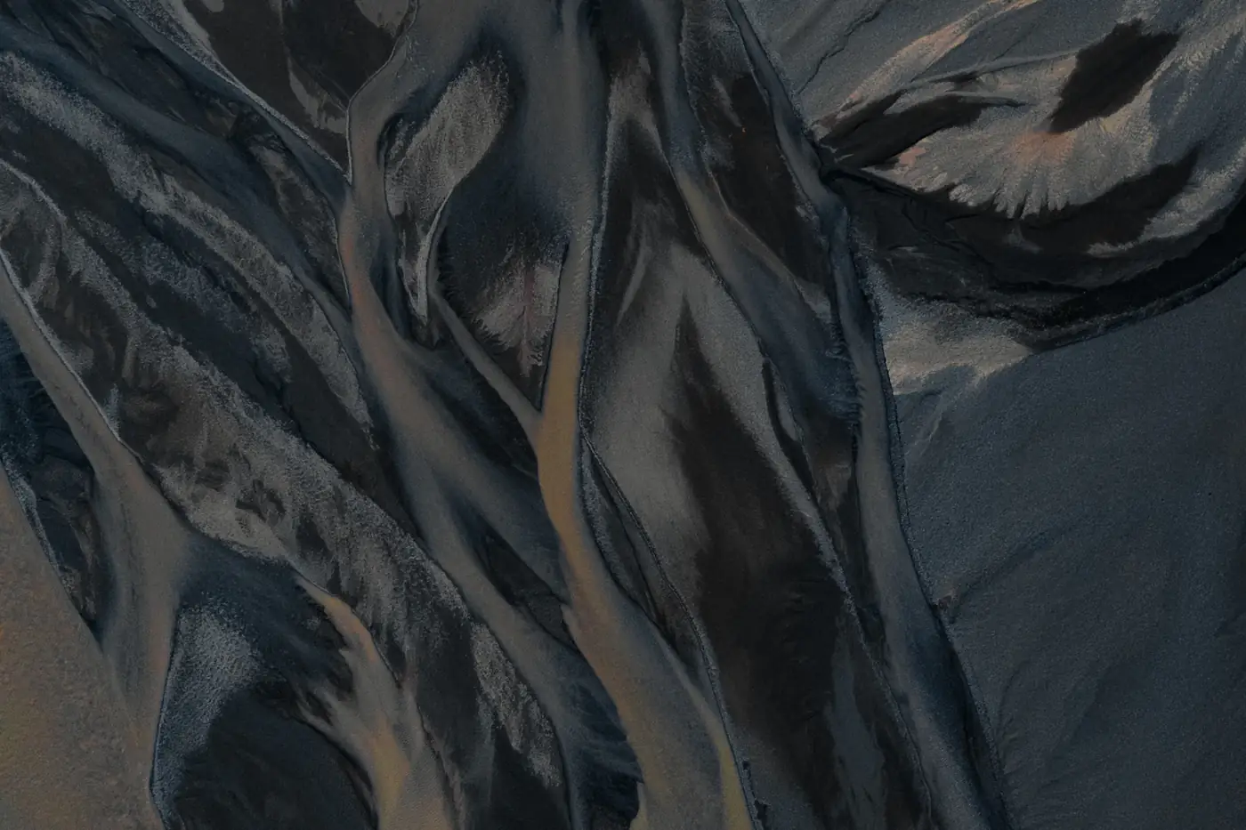
Three signals, three interpretations
Visible imagery records reflected light. Thermal infrared measures emitted radiation and can reveal surface-temperature differences under suitable conditions. Radar actively illuminates a scene with microwaves and records returns shaped by geometry and scattering. Do not compare their brightness as if it meant the same thing. Decide which observation would make a useful contribution to the review.
Know the conditions that can mislead
Cloud and shadow can limit visible interpretation. Sun exposure, wind, material and time of day can affect thermal contrast. SAR can observe through clouds in many conditions, but speckle, shadow and layover still complicate the result. Disagreement between methods is a reason to examine conditions and geometry, not an automatic vote for one image over the others.
Example: two questions at an energy site
For access, the reviewer may need to see where a route passes the equipment. For equipment screening, a suitable thermal observation might add a different signal. Neither confirms a field diagnosis.
Keep the thermal question open if the operating or capture conditions were unsuitable. Do not fill the gap with a conclusion from the visible image.
Specify the decision before the instrument
Name the required coverage, timing and smallest useful feature. Ask why the proposed sources fit those needs and what would make the observation inconclusive. This note describes industry methods. It does not list the sensors available for an AirQtel assignment.
Practical checklist
- Name the condition to observe and the decision it supports.
- Check how acquisition conditions can hide or imitate the signal.
- Specify which findings will need independent verification.