Technical Notes
Why aerial photos need geometric correction
A convincing picture can still put a roof in the wrong place. What to check before comparing aerial captures.
Reference from 2023: USGS: Guidelines for calibration of uncrewed aircraft systems imagery
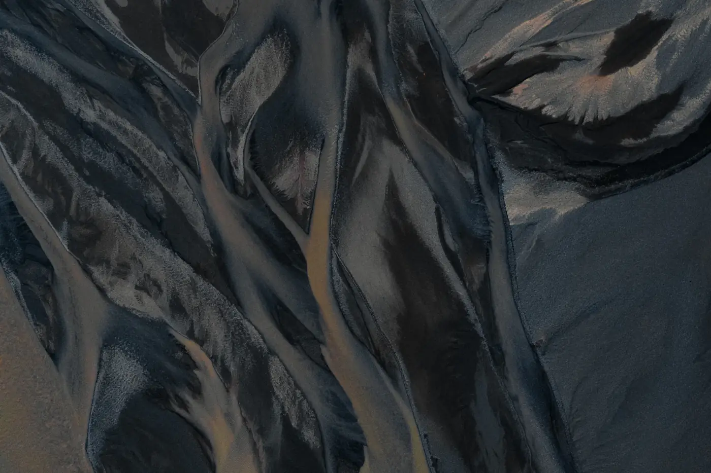
When a photograph gives the wrong position
A roof photographed from the side can seem to lean away from its foundation. On sloping ground, two equally sized pixels can cover different distances. That is fine for a picture of the site; it is a problem if someone uses the picture to locate a boundary or measure a shift. An orthophoto is intended to correct that geometry. Do not assume every aerial mosaic has been corrected well enough for the decision at hand.
Ask what the correction used
Check the coordinate reference system, capture geometry and elevation surface. Ground control helps fit the model; independent checkpoints tell you how well the result fits outside the control points. Ask which checkpoints were used for evaluation and whether they cover the terrain your team will measure. A report for one part of the site does not automatically establish accuracy in another.
Example: the shoulder of a steep road
A second survey seems to show the downhill shoulder farther from the centerline. Compare stable markings and fixed structures first. If they shift together, alignment is a better starting hypothesis than a road failure.
Then open the original frames. A seam, a shadow or a different viewing angle may explain why the shoulder looks different in the mosaic.
What a corrected image still misses
Correction cannot reveal terrain that the camera never saw. A bare-earth surface may not model the top of a building, and moving objects may be split across a seam.
Show gaps and low-confidence areas with the result. A clean-looking fill is not evidence that those places were observed.
Practical checklist
- Record the CRS and the elevation surface used for correction.
- Check fixed features and independent checkpoints across the area.
- Keep occluded areas and seam artifacts visible in the quality notes.