Technical Notes
Which shoreline are you comparing?
A waterline can shift without erosion. Define the edge you mean and record conditions on both dates.
Reference from 2019: NOAA: Shoreline monitoring methods
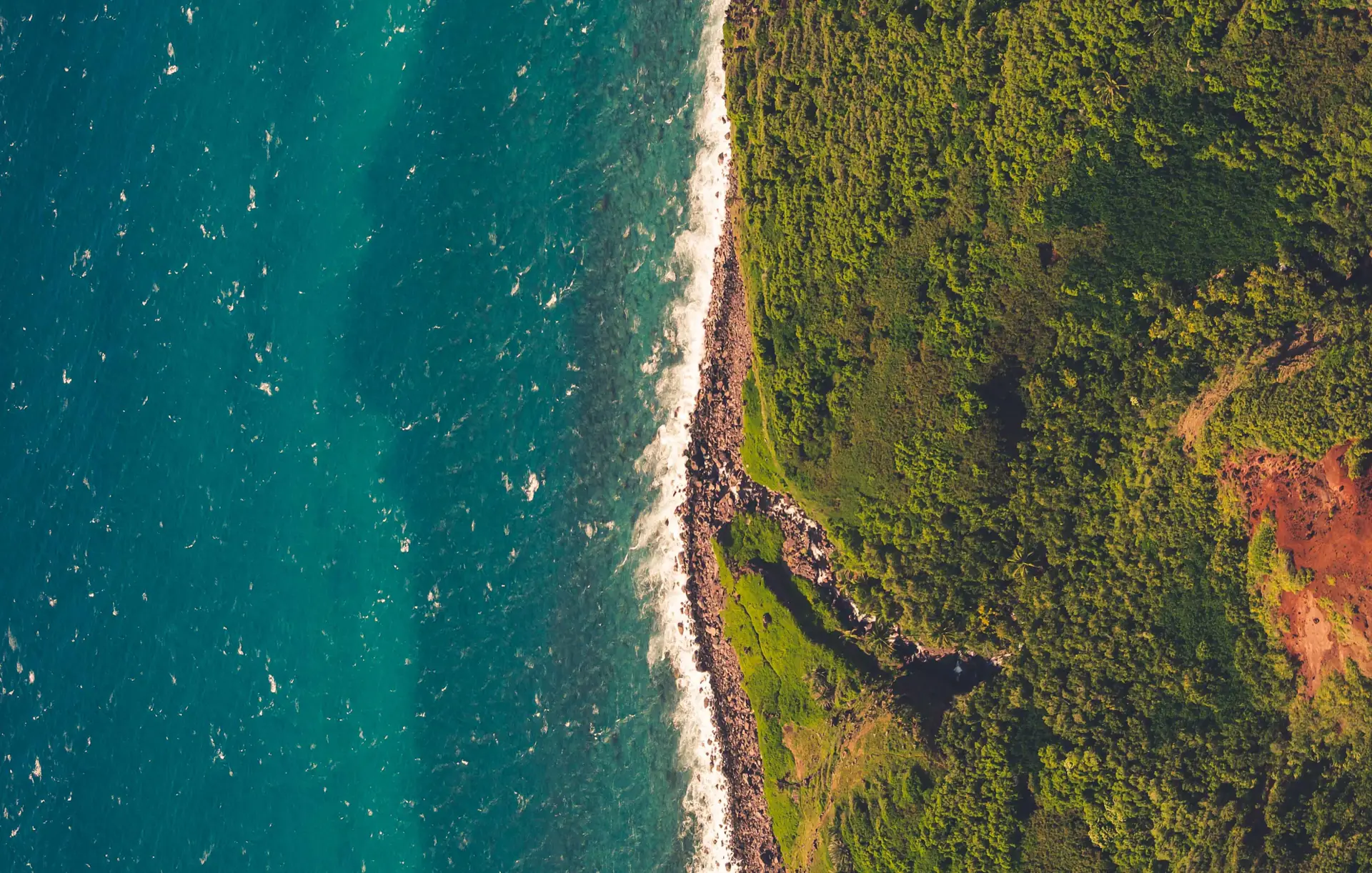
Pick an indicator you can repeat
A visible wet-dry edge, a boundary tied to a tidal datum and the edge of vegetation can all be traced, but they are not interchangeable. A charting or legal boundary is a separate matter.
State what the line represents before it enters the analysis. Use the same indicator on both dates or document why they cannot be compared.
When the water level changes
A small difference in water level can shift the visible edge a long way on a shallow beach. Wave run-up, recent weather and season can also change how the edge appears.
Preserve the capture time and water-level context. An image taken under different conditions may still be useful for a site review, just not for estimating a trend.
Example: water near a coastal access road
A post-storm photograph shows water closer to a road. The question is whether to inspect the road, not whether one frame proves a long-term change. Look for a comparable earlier capture, the road boundary and elevation or field survey where available. If the water levels cannot be reconciled, report the visible condition and request a comparable observation. Do not turn the difference into an erosion rate.
Deliver the conditions with the line
Include the indicator, datum where relevant, dates, segment coverage and areas that were hard to trace. Use documented measurements such as consistently placed transects when you need a comparison over time.
If uncertainty is about as large as the apparent change, say the trend is unresolved. Another capture can be more useful than another decimal place.
Practical checklist
- Keep the shoreline definition and datum consistent.
- Attach timing, water-level context and visibility limits.
- Separate a visual observation, a measured change and a recommendation to inspect.